SPATIAL ANALYSIS ALLOWS US TO SOLVE COMPLEX PROBLEMS AND BETTER UNDERSTAND WHATIS HAPPENING IN THE WORLD ANDWHERE.I learned a lot of things using arcgis online.what is and how to use suitability analysis,BOOLEAN SUITABILITY,WEIGHTED SUITABILITY,COST PATH ANALYSIS,spatial data,georecording,spatial interaction,analysis,how to work with raster,vector or attribute,topological data,how to work with scale.Learned spatial query,intersactions,overlays,buffers,densitys and etc.How to use connectivity to find routes between places,orientation to find direction of river flow,adjacency to find which region is next to another,containment to find the islands within a lake.
What is GI science?
The science of dealing
with spatial data and
spatial issues
Spatial Data:
Data with a geographical component connected to some plce on the earth.
Georecording:
The process of finding a geographic location based on other information like a street adress.
Spatial interaction:
Measure of movement of phenomena, such as the flow of goods, people, or information from place to place.
Analysis:
The systematic examination of a problem to provide new information from what's already known.
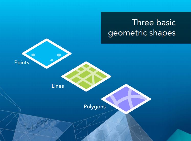
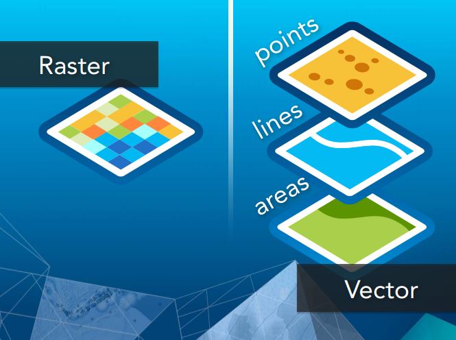
Vector data:
Real-world entities are represented as features in three basic shapes of points, lines, and areas.
Raster data:
Real-world entities are represented as regular grids, like digital photographs.
Attribute data:
Information that describes what is known at any location.
Scale:
the ratio or relationship between a distance or area on a map and the corresponding distance or area on the ground, commonly expressed as a fraction or ratio.
Topological data:
Information about the relative position of spatial features.
SUITABILITY ANALYSIS:
Weighs locations relative to each other based on given criteria using spatial and attribute queries and/or overlay methods.
BOOLEAN SUITABILITY:
Describes locations as either suitable or not suitable based on a true or false (logical) condition.
WEIGHTED SUITABILITY:
Assigns more importance to some criteria than others to rank locations with relative suitability values.
COST PATH ANALYSIS:
Finds the best path between two locations that costs the least to traverse using the cost of time, distance, or some other criteria.
Here is three basic geometric shapes
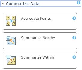
Analysis
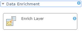
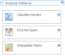
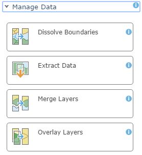
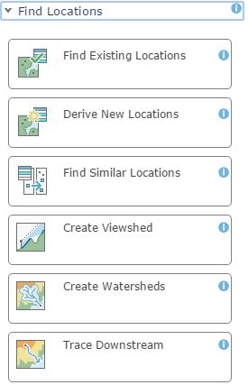
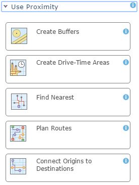
PERFOMED A LOT OF ANALYSIS, SUCH AS SUMMARIZE DATA,FIND LOCATIONS,DATA ENRICHMENT,ANALYZE PATTERNS,PROXIMITY,MANAGE DATA.
|
|
Here is some works of mine
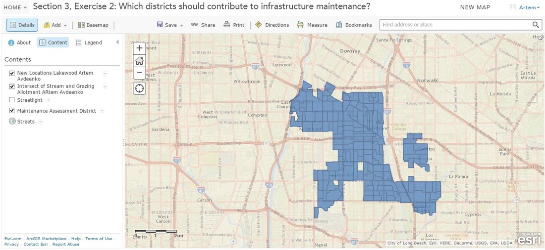
Finding new locations in lakewood
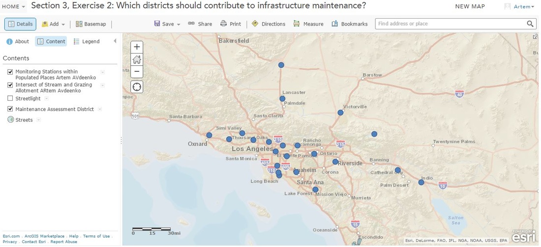
Monitoring Stations within populated places
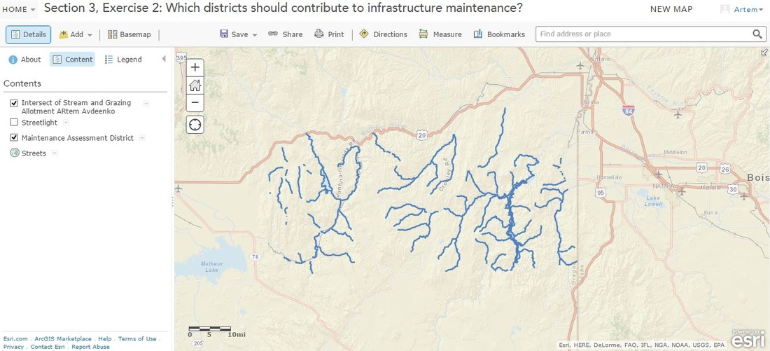
Here is intersections of streams and grazing allotments
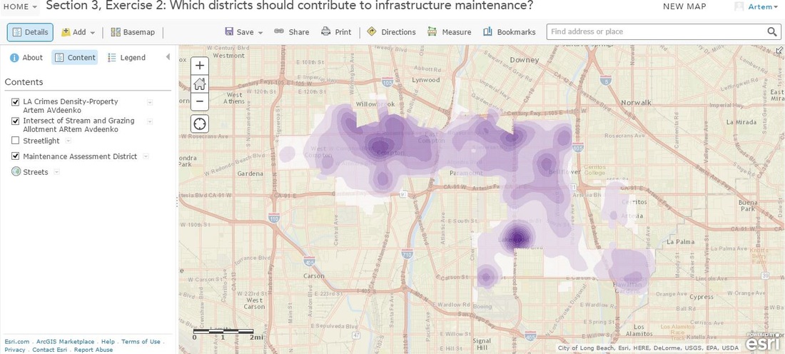
Los angeles crimes density
Certificat of completion